☰ MENU
- ···
- Home
- ···
- TOURS
- ···
- HOTELS
- ···
- TRAVEL EXPERIENCE
- ···
- ABOUT
- ···
- CONTACT
- ···
- My Account
- ···

SHOPPING CART
Korea’s two great southern summits, an island-scattered coastline, and a week that climbs from oyster beds to 1,915 metres. You start among Tongyeong’s island waterways and Geoje’s sea cliffs, then head inland to stand on Cheonwangbong — the highest point on the Korean mainland — before taking on the granite pinnacles of Gayasan’s Manmulsang Ridge. In between, you slow down in Korea’s herbal-medicine heartland and walk into Haeinsa, home of the Tripitaka Koreana. It’s late spring in the south: green ridges, bright sea light, and a table at the end of every day that’s worth the climb.
What is included:
What is not included:
Tour fare differs with group size:
Tour Start / End Points:
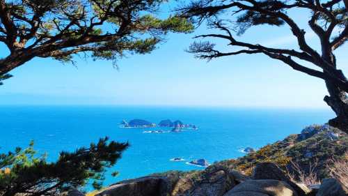
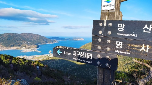
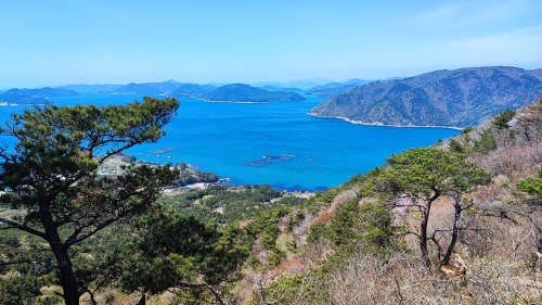
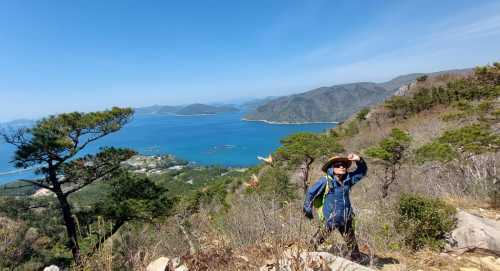
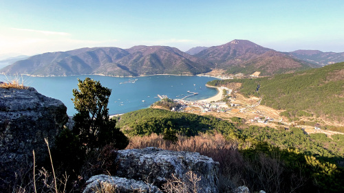
Mt. Mangsan 망산 ▲ 397m
Trail distance @ 5.8 km from trailhead to Myeongsa Beach.
It is a moderate trail and a rewarding great open view at the peak.
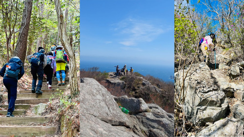
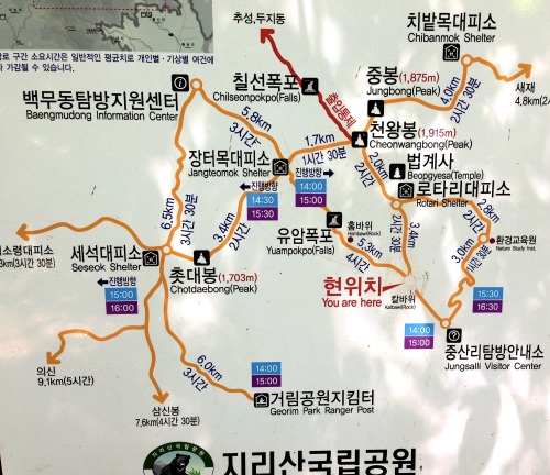
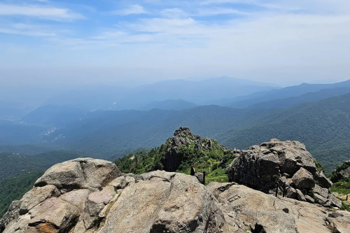
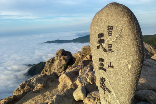
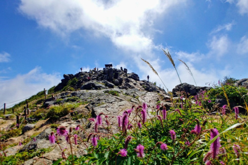
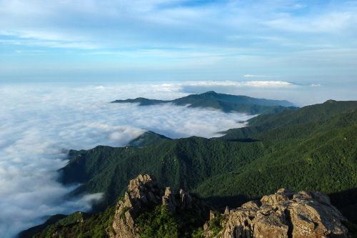
Mt. Jirisan, Cheonwangbong Peak is the 2nd highest peak in Korea and the highest in the Peninsula.

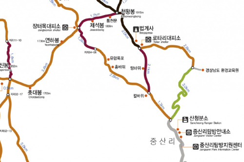
Jungsanri - Cheonwangbong Loop 11.7 km is considered a challenging route and it is hardest than the Korea highest mountain, Hallasan. The trail takes an average of 7 to 9 hours but we are providing up to 10 hours of hiking time for you.
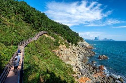
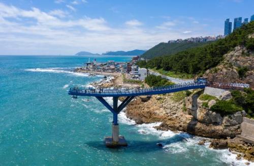
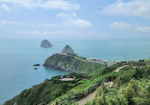
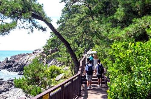
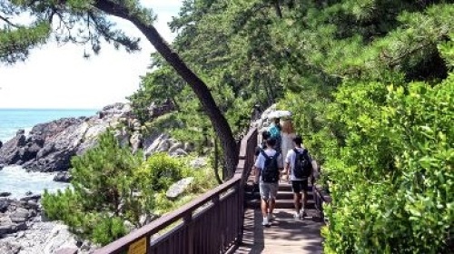
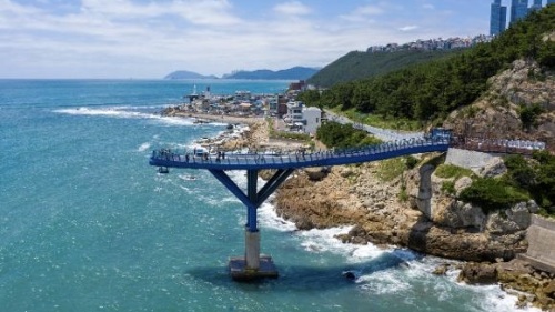
Haeparang Trail, spanning 770 km from Oryukdo Sunrise Park in Busan to Goseong Unification Observatory in Gangwon-do, consists of 10 sections and 50 destinations. Meanwhile, the Haeparang Trail Busan Section called Buparang Trail comprises three sections. Let’s set off for Buparang Traill, which runs from Oryukdo Islets to Haeundae, from Mipo to Daebyeonhang Port in Gijang, and...Read more